

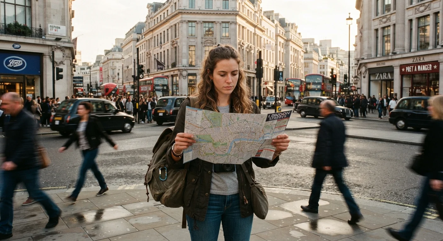
Key Takeaways
- Orient yourself before leaving your accommodation, not after you are already lost.
- Landmarks work better than street names for quick mental mapping in an unfamiliar city.
- Most transit systems follow a shared logic that you can decode within minutes of arrival.
- Offline maps remove dependence on mobile data in areas with weak or expensive coverage.
- Knowing your neighborhood's name and nearest major intersection is a practical safety baseline.
What you will need
Why orientation matters before movement
Getting lost in a new city is rarely dangerous, but it costs time and drains confidence. The travelers who move through unfamiliar places smoothly are not necessarily better with maps: they spend a few minutes building a mental framework before they start moving, so decisions on the street are faster and less stressful.
Good orientation starts before you leave home. What experienced travelers do differently when planning includes preparation habits that apply directly here, from studying a city's basic geography to keeping key information accessible during transit.
The steps below are ordered by when you will do them: before departure, on arrival, and during your first few hours on the ground.
What you will need
Step-by-step: how to orient yourself in an unfamiliar city
Download offline maps before you travel
Before departure, download an offline map of the city through your preferred maps app. Offline maps work without a data connection and load faster than live maps in areas with congested networks. Download the map while on Wi-Fi to avoid large data charges.
Zoom in on the area around your accommodation and note the street grid, nearby transit stops, and any major landmarks within walking distance. This brief preview gives you a mental scaffold to build on when you arrive.
Identify two or three anchor landmarks on arrival
Within your first hour, find two or three fixed, visible landmarks near your base: a large building, a river, a prominent hill, or a central square. These work better than street names for quick spatial orientation because you can spot them from a distance without checking a map.
Note which direction each landmark sits relative to your accommodation. A simple mental note such as 'the cathedral is to the north, the waterfront is east' gives you a compass you can check against throughout the day.
Learn your neighborhood name and nearest major intersection
Ask your hotel, hostel, or host for the local neighborhood name and the nearest major cross street. Write both down. If you get turned around or need to ask a local for directions, having this information lets you describe your destination without relying on your phone.
This is also a practical safety step: if you need to call for assistance or hail a ride, you can communicate your location clearly even with a dead battery. Practical safety habits for travelers covers this kind of low-effort preparation in more depth.
Read the transit map before your first trip
Before boarding a bus, subway, or tram, spend a few minutes with the route map. Look for the line colors, terminus names, and transfer stations. Most systems use the same structural logic: lines run between two named endpoints, and you travel toward whichever endpoint is in your direction.
Count the stops to your destination and note one stop before it as your alert stop. This removes the need to watch every station sign closely. For a deeper breakdown of transit map logic, see how to read a public transit system you have never seen before.
Walk your immediate area without a destination first
On your first day, take a 15-to-20-minute walk with no specific goal. Go in one direction, note what you pass, and return the same way. This low-stakes loop builds spatial memory faster than staring at a map, because you are encoding real physical cues: how a corner smells, where a particular sound comes from, what the light looks like on a particular street.
Each subsequent walk extends your mental map outward from that first familiar loop.
Use cardinal directions, not left and right
When you look at directions or ask a local, translate instructions into cardinal directions (north, south, east, west) rather than left and right. Left and right change when you turn around; north does not. Most map apps show your heading, and many cities have a dominant grid orientation you can use as a reference.
If you know the sun rises in the east, a clear morning gives you an instant compass check without opening any app.
Build your map knowledge gradually
You do not need to memorize the whole city before your first outing. Start with the blocks immediately around your accommodation and expand your radius each day. By day three, most travelers find they check their phones far less than on day one.
What to keep on you at all times
Carry your accommodation address written on paper, not just stored in your phone. Include the neighborhood name, the nearest major intersection, and a local phone number if your host provided one. This costs nothing and covers you if your phone runs out of battery or you lose it.
A transit day pass, where available, removes the friction of paying for each ride individually and lets you board without calculating fares each time. If you plan to walk a lot, comfortable shoes matter more than any navigation tool. A beginner's complete packing guide walks through decisions like footwear selection in the context of your full packing list.
Offline maps app
Provides turn-by-turn navigation and street-level detail without requiring a mobile data connection.
Paper city map
A reliable backup when a phone battery dies or signal is unavailable.
Transit app or PDF route map
Helps decode bus, subway, or tram routes before boarding an unfamiliar system.